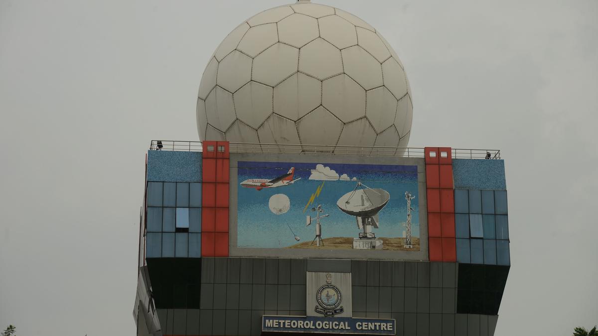
Wayanad’s New X-Band Radar

- 14 Oct 2024
In News:
- Following devastating floods and landslides in July 2024 that resulted in over 200 fatalities in Wayanad, Kerala, the Union Ministry of Earth Sciences approved the installation of an X-band radar to enhance monitoring and early warning systems.
- Impact of Events: The floods were exacerbated by heavy rains, leading to significant debris flows and landslides, highlighting the need for advanced meteorological tools.
What is Radar?
- Definition: Radar stands for "Radio Detection and Ranging." It uses radio waves to determine the distance, velocity, and characteristics of objects.
- Functioning: A transmitter emits radio signals that reflect off objects, returning to a receiver for analysis. This technology is crucial in meteorology for monitoring weather patterns.
X-Band Radar Specifics
- Operating Frequency: X-band radar operates at 8-12 GHz, corresponding to wavelengths of 2-4 cm. This allows it to detect smaller particles, such as raindrops and soil.
- Advantages: The shorter wavelengths provide higher resolution images but have a limited range due to faster signal attenuation.
- Applications: In Wayanad, the radar will monitor particle movements like soil, enabling timely landslide warnings through high temporal sampling.
India’s Radar Network
- Historical Context: India has utilized radar for meteorological purposes since the early 1950s. The first indigenous X-band radar was established in 1970.
- Current Infrastructure: India operates both X-band and S-band radars (2-4 GHz) for various meteorological functions. The X-band network includes storm detection and wind-finding capabilities.
- Future Plans: The Indian government plans to add 56 more Doppler radars under the ?2,000-crore "Mission Mausam," enhancing weather forecasting capabilities across the country.
NISAR Satellite
- Collaboration: NISAR (NASA-ISRO Synthetic Aperture Radar) is a joint satellite project between NASA and ISRO, set to launch in 2025.
- Capabilities: It will feature L-band and S-band radars to monitor Earth’s landmass changes, further supporting environmental monitoring and disaster management.
