Apple support for NavIC prompts consideration of mandatory adoption and extra incentives by the government. (Indian Express)
- 16 Sep 2023
Why it is in News?
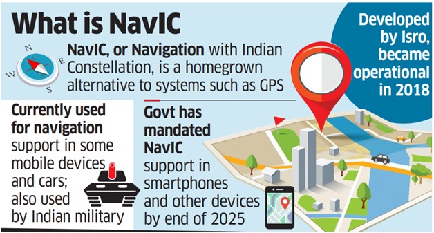
- Following Apple's adoption of the NavIC navigation technology in select iPhone 15 models, the government is contemplating a mandate for all smartphones sold in India to incorporate this homegrown GPS alternative.
- According to the Ministry of Electronics and Information Technology (MeitY), this requirement would apply to all 5G phones by January 1, 2025, and other phones by December 2025.
Context:
- Currently, only a few smartphone brands like Poco, Vivo, and Xiaomi incorporate NavIC support.
- To encourage wider adoption of this indigenous navigation system, the government is contemplating additional incentives for smartphone manufacturers.
- These incentives may be included in the upcoming round of the production-linked incentive (PLI) scheme if manufacturers utilize chips designed or produced in India that support NavIC technology.
- As an example, the existing IT hardware PLI offers cashback incentives to companies employing India-designed or -manufactured chips in their systems.
- The Ministry of Electronics and Information Technology (MeitY) aims to make it nearly mandatory, similar to the automobile sector, for all GPS-enabled devices to include NavIC chipsets, alongside other technologies like GPS.
- Apple's recent announcement of NavIC support in its latest iPhone models marks the company's first inclusion of this technology, potentially driving its mainstream acceptance.
- The achievements of ISRO, including the successful lunar mission (Chandrayaan 3), the maiden solar mission (Aditya L1), and the growing recognition of NavIC technology, demonstrate India's expanding capabilities in the realm of space technology.
What is NavIC?
- NavIC, also known as the Indian Regional Navigation Satellite System (IRNSS), is an independent and self-reliant navigation satellite system developed by the Indian Space Research Organisation (ISRO).
- Initially approved in 2006 with a budget of $174 million, NavIC was anticipated to be completed by 2011 but became operational in 2018.
- Comprising seven satellites, NavIC covers the entirety of India's landmass and extends up to 1,500 km beyond its borders.
- Its primary objective is to reduce dependence on foreign navigation satellite systems, particularly for critical sectors.
- Currently, NavIC is utilized in India for:
- Public vehicle tracking, ensuring emergency alerts for fishermen in remote deep-sea areas with no terrestrial network connectivity.
- Tracking and disseminating information related to natural disasters.
- India's next goal is to integrate NavIC into smartphones, aligning with the draft satellite navigation policy of 2021, which outlines plans to expand coverage from regional to global.
What are the Benefits of a Regional Navigation System?
- India is the sole country with its regional satellite-based navigation system.
- Four global satellite navigation systems exist: the American GPS, Russian GLONASS, European Galileo, and Chinese Beidou.
- Japan also has a four-satellite system similar to India's GAGAN (GPS Aided GEO Augmented Navigation) that can enhance GPS signals over its territory.
- When fully operational, NavIC (supported by ground stations in Japan, France, and Russia for improved signal triangulation) will provide highly accurate open signals, up to 5 meters, and even more precise restricted signals (comparable to GPS's ~20 meters accuracy).
- Unlike GPS, NavIC employs satellites in high geostationary orbits, ensuring they remain fixed relative to Earth and continuously cover the same Earth region.
- NavIC signals approach India at a 90-degree angle, enhancing their reach to devices located in congested urban areas, dense forests, or mountainous terrain.
Comparison Between Old and New (2nd-Generation) NavIC Satellites:
- The existing seven satellites in the IRNSS constellation were launched using the Polar Satellite Launch Vehicle (PSLV), which is ISRO's reliable launch rocket.
- In 2018, the IRNSS-1I satellite joined the constellation, replacing an older, partially malfunctioning satellite. It was ISRO's ninth satellite for NavIC, although it's often considered the eighth due to the loss of IRNSS-1H in 2017 when the payload's heat shield failed to open on schedule.
- The 2nd-generation satellite, NVS-01, launched in May 2023, belongs to ISRO's NVS series and is notably heavier.
- NVS-01 features an onboard Rubidium atomic clock, a significant indigenous development for precise object location determination.
- Currently, only four IRNSS satellites offer location services, while others are designated for messaging services.
- The 2nd-generation satellites will introduce signals in a third frequency, L1 (in addition to the existing L5 and S frequencies), enhancing interoperability and supporting use in wearable devices.
- These upgraded satellites will also boast a longer mission lifespan, exceeding 12 years, in contrast to the 10-year mission life of the existing satellites.
Mains Question:
- How has the implementation of NavIC benefited India's navigation autonomy and strategic importance, and what are the key challenges and planned enhancements, particularly regarding mobile phone compatibility and signal security? (15M)